Survey Anytime
With Marlyn 'no-go' days are turned into routine projects. You get the benefit of flying in wind conditions of up to 45km/h at ground level, and 55km/h at cruise altitude resulting in up to 30% more days per month.
Absolute Accuracy
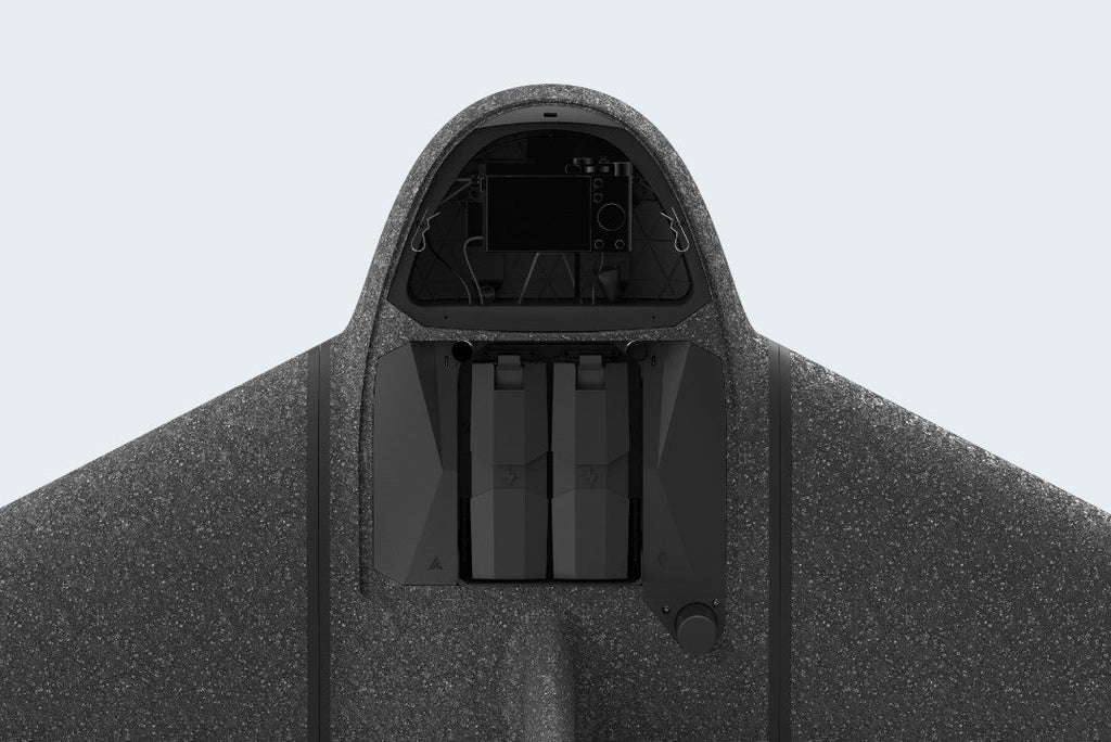
Accuracy is king in the surveying world. Attain accuracies as low as 1cm with Sony’s 42MP, full-frame RX1RII combined with Topcon's PPK module, an aerial surveying match made in heaven!
Dedicated Survey Cameras
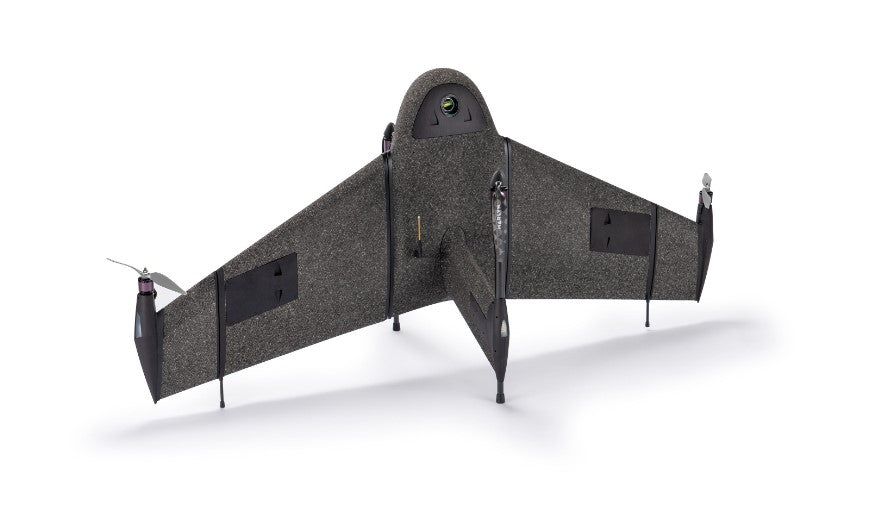
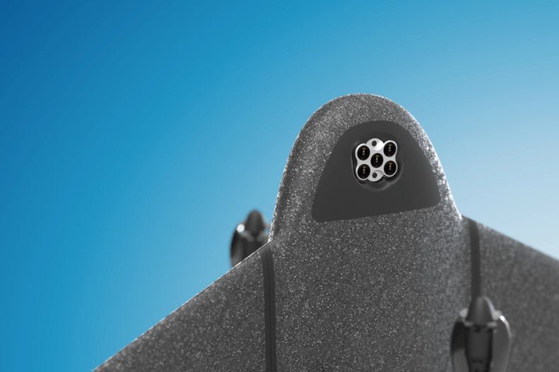
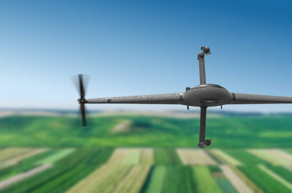
Marlyn’s cameras are modular, meaning they're swappable in minutes. A variety of RGB and specialty cameras are available to suit your project requirements.
Fly More
Referencing localized weather data, Marlyn's Wind Benefit Calculator shows you how many more days in a year Marlyn can operate compared to competing products.
Get Results Easily with the Right Software
Developed with ease of use and data quality in mind, your in-field operation software Navigator and geo-referencing Geotagger will allow you to get survey-quality data without all the hassle and inaccuracies typically associated with some mapping drones.
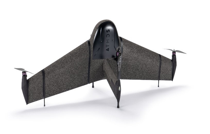
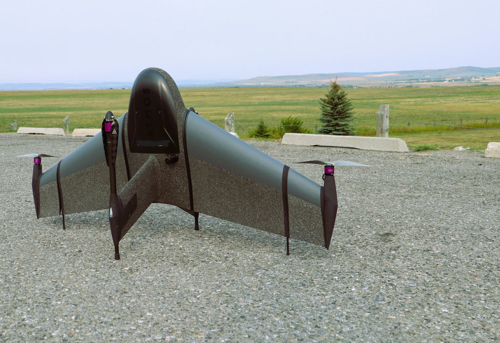
The ATMOS Marlyn - Plan with Precision
Applications
Construction & Infrastructure: Marlyn changes the game for land surveyors delivering operational efficiency, reduced downtime, and increased safety. With the PPK, accuracies down to 1cm [0.4in] are easily achieved with fewer to no ground control points.
Surveying & GIS: Compared to terrestrial survey methods, a drone survey yields a
point cloud of millions of cm-accurate data points over a 150Ha area, giving you complete data coverage and a massive efficiency boost.
Mining & Aggregates: Marlyn eliminates the need for surveyors to move around the pit minimizing downtime and improving safety. Large, accurate data sets can be created efficiently, at reduced costs, with less man hours.
Environmental Protection: Marlyn is capable of seeing beyond the visual, providing new insights into plant health, animal behavior, and more, that was previously thought impossible. This allows you to glean a variety of data to both monitor and provide corrective actions to your study area.
Precision Agriculture: Marlyn’s multispectral cameras give you the ability to record crop health for larger terrains. Light reflectance in the visible and invisible spectra are used to determine plant stress on an individual level.
Learn More
OPERATION
Take-off & landing area:
2 x 2 m [7 x 7 ft ] required
Wind resistance:
- Take off: 45 km/h [28 mph]
- Cruise: 55 km/h [34 mph]
- Landing: 45 km/h [28 mph]
Pre-flight checklist:
Integrated intelligent checklist in Atmos Navigator
Temperature range:
-10°C to +40°C [14°F to 104°F] (Above 35°C operating restrictions apply)
GCPs:
Not required with optional PPK module
HARDWARE
Drone Type:
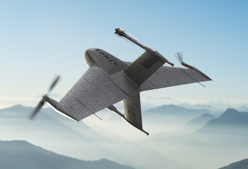
Hybrid (VTOL & fixed-wing)
Weight without payload:
Max payload weight:
Up to 1 kg
Wingspan:
1.6 m (detachable wings)
Built-in safety lights:
2 Navigation lights, 2 Anti-collision lights — 1km [0.6 miles] of visibility
Motors:
4 electric motors
Ingress protection:
IP54 — It is not recommended to fly in fog, rain and snow
Telemetry module range:
Default 7km LOS
Camera options:
RGB (Sony RX1RII, A7C), Multispectral (Micasense RedEdge-MX, Altum)
Included accessories:
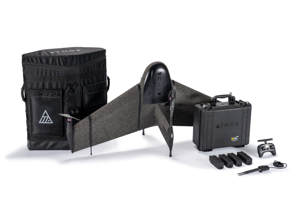
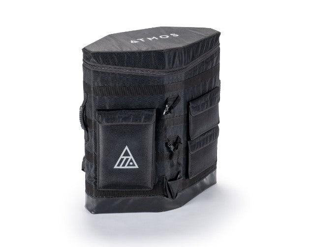
Backpack, 2x battery sets, charger, remote control, Navigator modem, maintenance kit
Materials:
Durable structural EPP with carbon fibre frame
SOFTWARE
Atmos Navigator:
Marlyn's flight planning and telemetry software
Atmos GeoTagger:
Marlyn's geo-referencing software
Marlyn Update Center:
Marlyn's firmware upload software
Operating system:
Windows
Photogrammetry software:
Compatible with Pix4D, Metashape, SimActive, and more
Input files:
.KML, .KMZ, .GeoTIFF, .MBTiles, .WMTS
In the Box
Aircraft
Radio Connections: Marlyn Radio Module & RC
Battery Charger: ISDT Double Charger (60min per pair)
Batteries: 2 Sets — Each below 100Wh
Portability: Backpack & Accessories Case
Software: Navigator & GeoTagger (+ Updates)